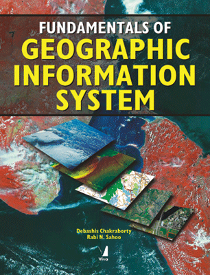
Fundamentals of Geographic Information System
Fundamentals of Geographic Information System
₹985.50 ₹1,095.00 Save: ₹109.50 (10%)
Go to cartISBN: 9788130900414
Bind: Paperback
Year: 2020
Pages: 280
Size: 153 x 229 mm
Publisher: Viva Books Originals
Sales Territory: Worldwide
Description:
This book is intended to be a basic-level textbook for the beginners and a reference book for GIS practitioners who use the system for their professional work. It tries to integrate the idea that GIS is for all. The book starts with the introduction of GIS and its various components and functionalities - and goes on to cover map projection systems, different data models and data input, spatial analysis, and surface modeling aspects of GIS. Various data output and the integration of GIS with as a tool. It also contains a complete Glossary of terms and the abbreviations and acronyms frequently used in GIS.
The book offers a step-by-step appreciation of Geographical Information Sciences as a discipline and Geographic Information System as a tool to understand the real world, to the one who strives to change the world in a better and more meaningful way.
Target Audience:
This book is intended to be a basic-level textbook for the beginners and a reference book for GIS practitioners who use the system for their professional work
Contents:
Fundamentals of GIS • Map Language • Maps as Numbers: Data Models and Data Structure • Input of Map Data • Spatial Database Management • Spatial Analysis • Modelling Surface • Output • Remote Sensing and GIS • Issues in GIS
About the Authors:
Debashis Chakraborty is a Scientist in the Division of Agricultural Physics, Indian Agricultural Research Institute (IARI), New Delhi. He received his doctorate in Agricultural Physics from Indian Agricultural Research Institute, New Delhi in the year 2001 with a gold medal for outstanding postgraduate research work on "Characterization and Spatial Modeling for Hydrological Response Behaviour of a Watershed in Western Rajasthan - Remote Sensing and GIS Approach.
Rabi N. Sahoo is working as a Scientist in the Division of Agricultural Physics, Indian Agricultural Research Institute (IARI), New Delhi. He received his doctorate in Agricultural Physics from Indian Agricultural Research Institute (IARI), New Delhi in 2000. He has been working on various applications of Remote Sensing and GIS techniques in Natural Resource Monitoring and Management through number of externally funded projects.
